Plan and prepare for your Central Coast visit

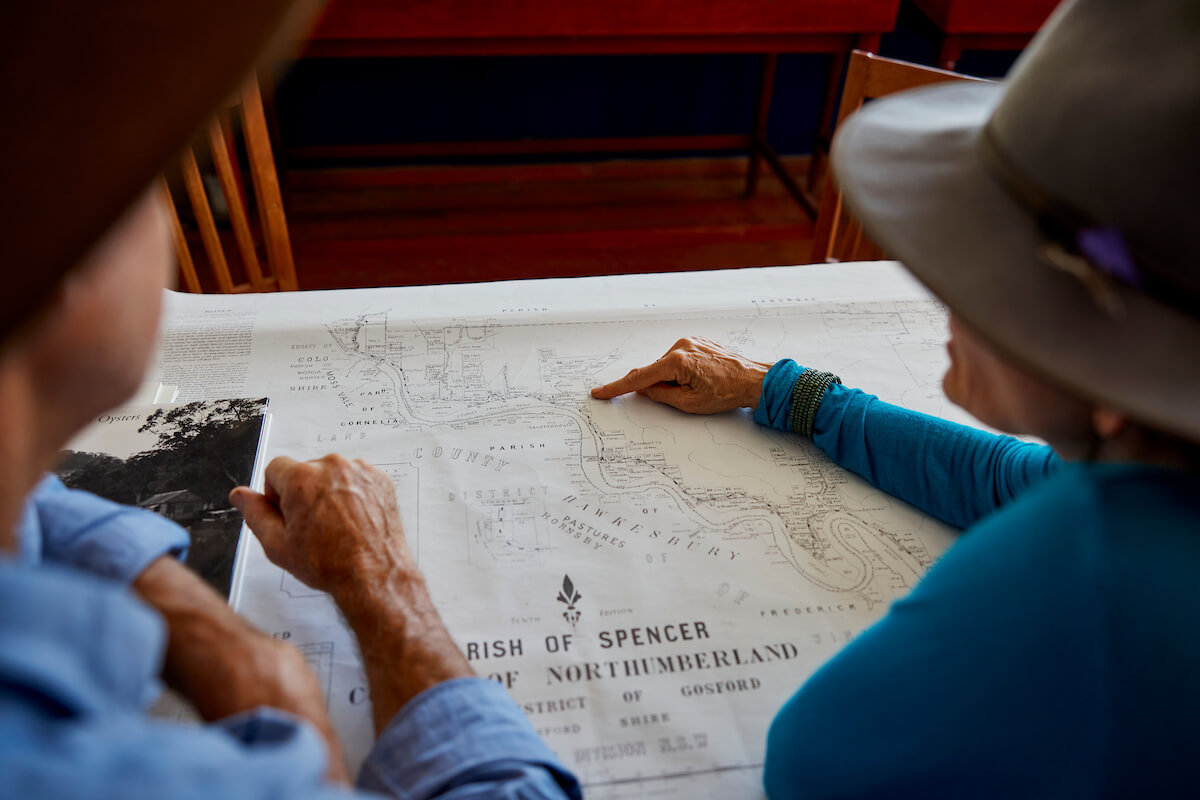
people planning over a printed map

Emergency contacts & staying informed

Planning isn't just for holidays; it's for emergencies too!

When you're planning to visit the Central Coast, ask yourself:

  • Where do I find the latest information before, during and after a storm, flood or bushfire?
  • How do I stay informed if we lose power during a storm, flood or bushfire?
  • Do I know where to find the latest information if there was a flood, bushfire, storm or tsunami?
  • Where do I find the Hazards Near Me app to download and set watch zones before a severe storm, flood, tsunami, or bushfire?


Stay informed and keep your family and friends safe - no matter where you are on the Central Coast.

>>> Access the Easy Read Emergency Book here <<<

8 Ways to plan & prepare
The Central Coast is a beautiful holiday spot, but like many popular regions on the NSW coastline we've had our share of natural disasters. We want to ensure all our visitors are safe and informed, so please follow these easy 8 important tips below...

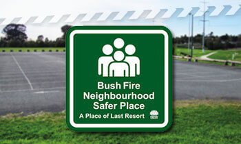
Note safer places

⚠️

Find where the local neighbourhood safer places are, or evacuation points, nearest to your Central Coast accommodation.

sign showing neighbourhood safer places logo
Image courtesy of rfs.nsw.gov.au
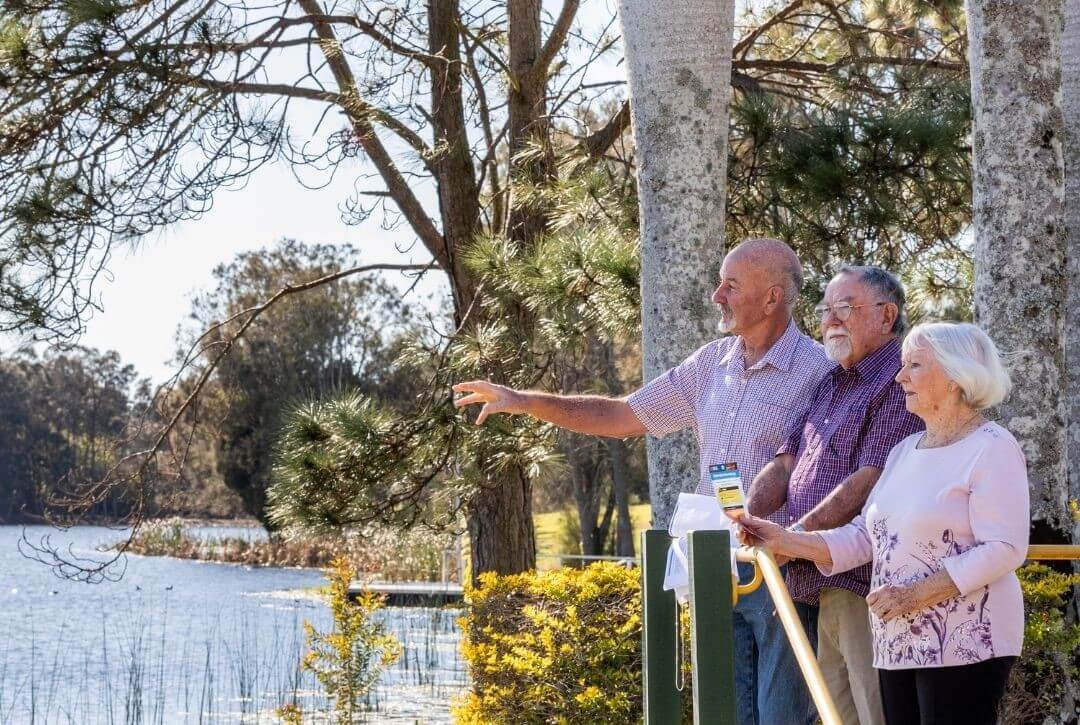
three people by the water assessing flood risk
Image courtesy of ses.nsw.gov.au

Determine your risks

⚠️

Are you staying near flood or fire prone land, or potentially exposed to some other emergency?

Monitor warnings issued by the NSW State Emergency Services (SES) on their website.

Follow NSW SES on Facebook, or local units Wyong SES and Gosford SES.

Have a plan

⚠️

Have a plan for what you would do if an emergency did occur.

couple with young child sit around a screen planning their trip on sofa
Image courtesy of ses.nsw.gov.au
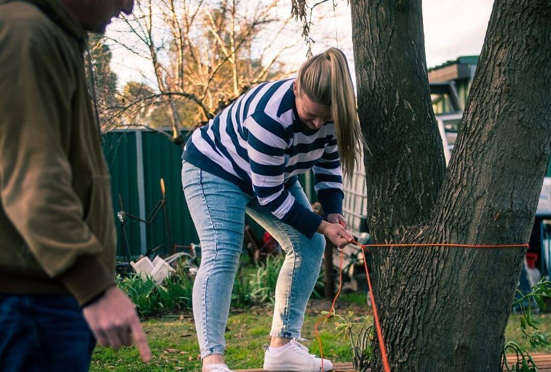
woman tethering a household backyard item to a sturdy tree
Image courtesy of ses.nsw.gov.au

Be aware

⚠️

Be aware of what is around you.

Would anything need to be put away or secured if a major storm or bushfire was approaching?
 

Stay informed

⚠️

Stay informed - ABC Central Coast (92.5FM) is our emergency broadcaster radio station. Listen online or download the ABC Listen app.

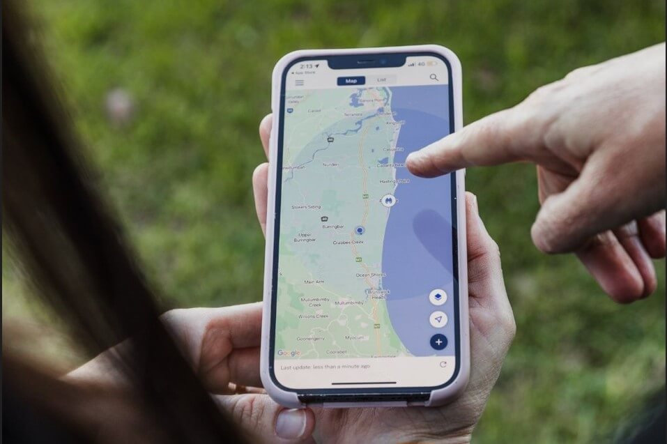
Download Hazards Near Me app and stay up to date on storm, flood and bushfire information.  

Emergency + app will give you your exact GPS location and access to emergency numbers.

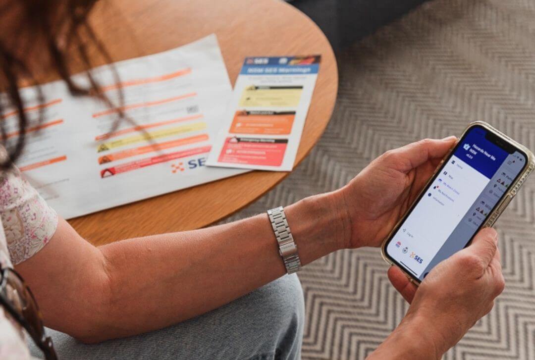
person accessing useful hazard detection app on their phone
Image courtesy of ses.nsw.gov.au
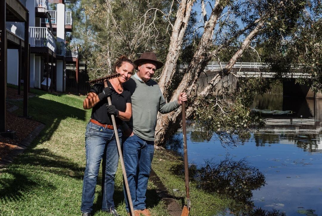
Pair of people by a low lying creek saying hello while preparing for a weather event with tools
Image courtesy of ses.nsw.gov.au

Get connected

⚠️

Get connected by introducing yourself to neighbours as a visitor.

Also let family and friends know where you are, and if you are safe.

Know the warning system

⚠️

Understand the Australian warning system.

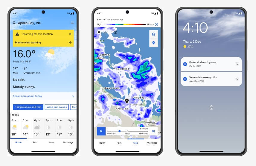
Access weather forecasts and warnings at the Bureau of Meteorology (BoM) website, or the Bureau’s Weather app. You can also follow BoM on Facebook.

three mobile screens showing examples of the BOM weather app for users
Image courtesy of bom.gov.au
Hazards Near Me app on mobile screen showing where emergency events are to find alternative route
Image courtesy of ses.nsw.gov.au

Cool and calm

⚠️

In heatwave conditions know where your local cool spots are: shopping centres, movie theatres, air-conditioned cafes, or local libraries.

⚠️

If there's flood water over the road, do not drive through it. Find an alternative route.  

Trip tips before visiting us

Before going on your Central Coast holiday, do your neighbours have your contact details if something were to go wrong?   
   
Storms, floods and bushfires don’t wait for you to be ready, but we're definitely more prepared when we look out for each other and our neighbours. 

  • Know your neighbours and their contact details
  • Recognise those who are vulnerable and may need assistance 
  • Find what resources could be shared
  • Create contact lists for your community so in an emergency, communication will be easier.

Travelling during bushfire season?

Are you and your friends, family or colleagues visiting the Central Coast during the annual bushfire season?

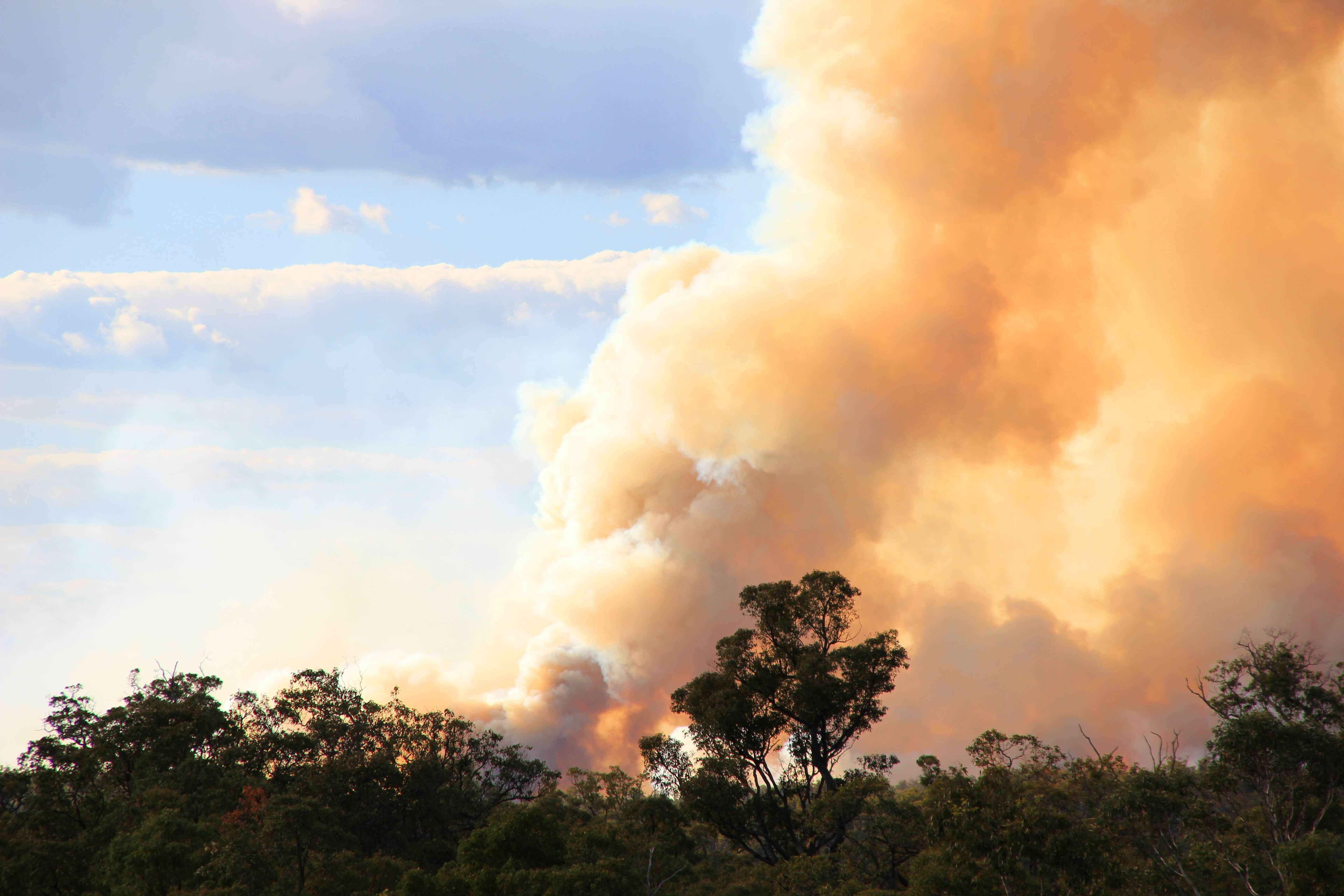
Did you know grass fires often cross roads and highways? Smoke can reduce visibility and roads can be closed without warning suddenly shifting your planned route. 

  • Know the fire danger rating levels
  • Know the risk of bushfire of the area you are visiting
  • Check NSW RFS website regularly 
  • Share your travel route plans with friends and family
  • Download the Hazards Near me app - and set a watch zone to the location you are visiting.

Trip tips to manage your risk

When planning a trip away, it's important to find out the risk of bushfire at your holiday destination – and what to do in an emergency.