


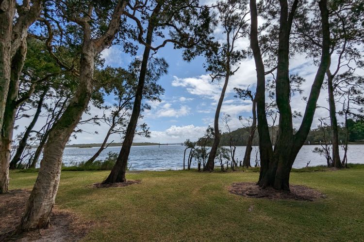
Along the northern shore of the Budgewoi Lake this hidden gem of a track is perfect for a cruisy walk with the family. It is 0.7km long and an easy to walk bush track. Head over the bridge in Budgewoi and you can find a couple of nice places to eat overlooking Budgewoi Creek.
The trail offers plenty of stops to have a go at the playground, get water or take nature breaks.
Trail Geometry
{
"type": "FeatureCollection",
"features": [
{
"type": "Feature",
"properties": {
"Budgewoi Foreshore Walk": "",
"stroke": "#333333",
"stroke-width": 3,
"stroke-opacity": 1
},
"geometry": {
"coordinates": [
[
151.56263316435945,
-33.234170765579655
],
[
151.56161797561316,
-33.23399576657645
],
[
151.5615490283688,
-33.234013664218246
],
[
151.56148959108918,
-33.23398980069503
],
[
151.56144441875568,
-33.23393411911707
],
[
151.56131365673946,
-33.233890369280125
],
[
151.56126372942282,
-33.23383269900851
],
[
151.56120904712623,
-33.233806846804946
],
[
151.56104975521487,
-33.23365769932873
],
[
151.56057188049851,
-33.23334747145254
],
[
151.55996562024058,
-33.23290996916881
],
[
151.55990352934145,
-33.23274292282859
],
[
151.55997960906097,
-33.232536102409846
],
[
151.56009135114653,
-33.23249831785819
],
[
151.56048601468729,
-33.23270712702233
],
[
151.5614417661539,
-33.23337730163742
],
[
151.56160819053912,
-33.2335204836784
],
[
151.56144889404231,
-33.23393794078122
],
[
151.56149168888504,
-33.233991633729985
],
[
151.56155825863857,
-33.2340135086253
],
[
151.56162007341038,
-33.23399561098462
],
[
151.56264269451754,
-33.234172812943676
]
],
"type": "LineString"
},
"id": 0
}
]
}


Duration
Approximate Duration
25min
Approximate Duration
25min


Lengh
Trail Length
0.70km
Trail Length
0.70km
Trail Photos

Points of Interest
Start
Plenty of parking at the start of the trail
POINT (151.5631 -33.235)
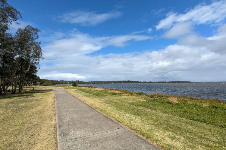
Lake Views
This track is all bitumen and offers wonderful lake views
POINT (151.563 -33.234)
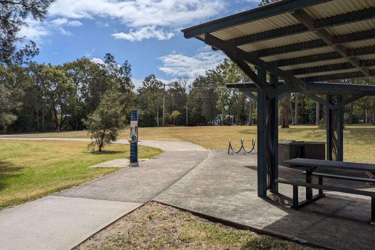
Waterstop
Refill your water bottles here and stop for a picnic or a rest.
POINT (151.5627 -33.2346)